
Spotty snow showers reported in Seattle area
Feb 26, 2017, 9:15 AM | Updated: 1:25 pm
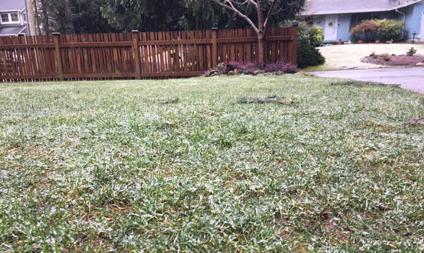
There was a dusting of snow showers in Shoreline Sunday morning. (MyNorthwest)
(MyNorthwest)
The greater Seattle area saw dustings of snow showers on Sunday morning but much of the accumulation came at higher elevation.
University of Washington Climatologist Cliff Mass that the mountain passes are getting “hammered” with snow, the lower atmosphere was too warm to get snow near sea level.
“Snow is being reported at higher stations (e.g., Paine Field in Everett) and over NW Washington, but around Seattle it is nearly all rain,” he wrote.
Snoqualmie: Snow showers – The roadway is bare & wet with compacted snow & ice over summit
— WSDOT Passes (@wsdot_passes)
A winter weather advisory from the National Weather Service that was to end at 10 a.m. warned of about 1 inch of snow on hills above 300 feet elevation. Areas below 300 feet were to see little or no accumulation.
The forecast calls for clouds and a chance of rain into the beginning of next week.
1 PM update: Sea-Tac AP now has 8.61" inches of precipitation. 2nd is 8.76" in 1951; 1st is 9.11" in 1961.
— NWS Seattle (@NWSSeattle)
Snowing in Bremerton
— Kevin (@koltman001)


